2013
TM2693 : Mill Road, Topcroft
taken 10 years ago, near to Topcroft, Norfolk, England
This is 1 of 2 images, with title Mill Road, Topcroft in this square
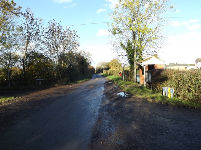
Mill Road, Topcroft
Looking towards the B1527 Bungay Road at the junction with Church & Rectory Roads & Rookery Lane
Road No.C369
Road No.C369
 Map © Crown Copyright")
TIP: Click the map for more Large scale mapping
- Grid Square
- TM2693, 65 images (more nearby 🔍)
- Photographer
- Geographer (more nearby)
- Date Taken
- Friday, 22 November, 2013 (more nearby)
- Submitted
- Thursday, 28 November, 2013
- Subject Location
-
OSGB36:
 TM 26520 93133 [1m precision]
WGS84: 52:29.3431N 1:20.1027E - Camera Location
-
OSGB36: TM 26520 93133
- View Direction
- NORTH (about 0 degrees)