2013
TA0930 : Fenchurch Street, Kingston upon Hull
taken 10 years ago, near to Kingston Upon Hull, England
This is 1 of 3 images, with title starting with Fenchurch Street in this square
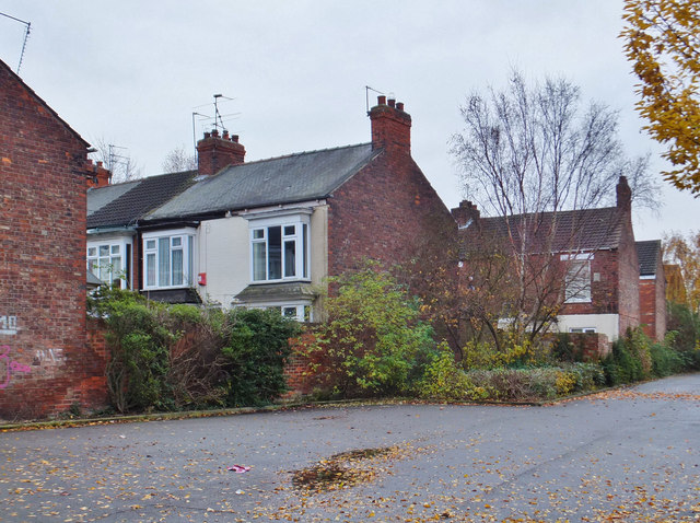
Fenchurch Street, Kingston upon Hull
Houses in Fenchurch Street, as seen from the footpath and cycle-track that connects Stepney Lane to the pedestrianized former Victoria Dock railway line.
 Map © Crown Copyright")
TIP: Click the map for more Large scale mapping
- Grid Square
- TA0930, 630 images (more nearby 🔍)
- Photographer
- Bernard Sharp (more nearby)
- Date Taken
- Monday, 25 November, 2013 (more nearby)
- Submitted
- Friday, 29 November, 2013
- Subject Location
-
OSGB36:
 TA 0906 3048 [10m precision]
WGS84: 53:45.5563N 0:20.8326W - Camera Location
-
OSGB36: TA 0903 3051
- View Direction
- Southeast (about 135 degrees)