2013
SY3198 : Field, Lower Beavor
taken 10 years ago, near to Axminster, Devon, England
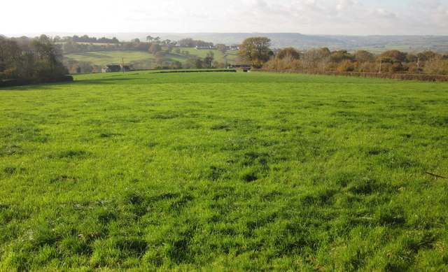
Field, Lower Beavor
A grass field beside Axminster Footpath 17. The distant field boundary on the right borders Sector Hill. On the left is the north side of the wood shown in SY3197 : Pasture and wood, Lower Beavor. Beyond is the Mill Brook valley.
 Map © Crown Copyright")
TIP: Click the map for more Large scale mapping
- Grid Square
- SY3198, 17 images (more nearby 🔍)
- Photographer
- Derek Harper (more nearby)
- Date Taken
- Saturday, 23 November, 2013 (more nearby)
- Submitted
- Sunday, 1 December, 2013
- Subject Location
-
OSGB36:
 SY 316 981 [100m precision]
WGS84: 50:46.7056N 2:58.2909W - Camera Location
-
OSGB36: SY 3174 9815
- View Direction
- WEST (about 270 degrees)