2013
SJ8990 : Heaton Norris Recreation Ground
taken 10 years ago, near to Heaton Moor, Stockport, England
This is 1 of 6 images, with title Heaton Norris Recreation Ground in this square
Heaton Norris Recreation Ground
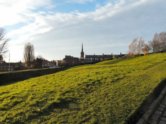
Looking along the bank between the Park and the Recreation Ground with the spire of Christ Church in the background.
Heaton Norris Park
The land for this park was acquired by public subscription and as a gift from Lord Egerton. Work on laying out the site as a public park began in May 1873, and it was formally opened on June 5th 1875. The total area of the park at the time was 16 acres, 2 rods & 38 poles. During the Munich crisis of 1938 large trenches were dug in the park in preparation for possible air raids. Construction of the motorway in the 1970s took several acres away from the park. More recently the park has become the venue for the annual Stockport Civic Bonfire. Link
 Map © Crown Copyright")
TIP: Click the map for more Large scale mapping
- Grid Square
- SJ8990, 2240 images (more nearby 🔍)
- Photographer
- Gerald England (more nearby)
- Date Taken
- Saturday, 30 November, 2013 (more nearby)
- Submitted
- Tuesday, 3 December, 2013
- Subject Location
-
OSGB36:
 SJ 8914 9081 [10m precision]
WGS84: 53:24.8390N 2:9.8910W - Camera Location
-
OSGB36: SJ 8920 9080
- View Direction
- WEST (about 270 degrees)