2004
TF0307 : St Mary's Hill, Stamford
taken 20 years ago, near to Stamford, Lincolnshire, England
This is 1 of 3 images, with title St Mary's Hill, Stamford in this square
St Mary's Hill, Stamford
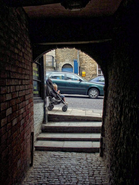
The road you see is St Mary's Hill. The covered passageway is beneath a half-timbered building and the entrance looks to have a Norman archway. Behind me is an ancient path, which leads down to Bath Row and the River Welland.
 Map © Crown Copyright")
TIP: Click the map for more Large scale mapping
- Grid Square
- TF0307, 1081 images (more nearby 🔍)
- Photographer
- Dave Hitchborne (more nearby)
- Date Taken
- Tuesday, 22 June, 2004 (more nearby)
- Submitted
- Thursday, 19 December, 2013
- Subject Location
-
OSGB36:
 TF 0302 0701 [10m precision]
WGS84: 52:39.0628N 0:28.7160W - Camera Location
-
OSGB36: TF 0302 0701
- View Direction
- East-northeast (about 67 degrees)