2013
SX6482 : Vitifer Mine Leat (disused)
taken 10 years ago, 4 km NNW of Postbridge, Devon, England
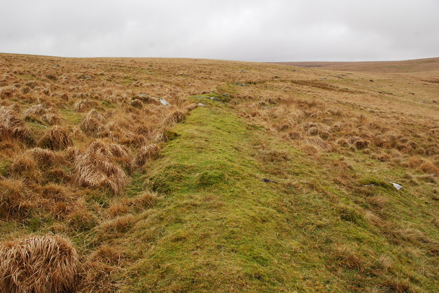
Vitifer Mine Leat (disused)
This small raised mound is part of the Vitifer Mine Leat (disused). You can just follow the line of it as it crosses the lower slopes of White Ridge.
 Map © Crown Copyright")
TIP: Click the map for more Large scale mapping
- Grid Square
- SX6482, 11 images (more nearby 🔍)
- Photographer
- jeff collins (more nearby)
- Date Taken
- Tuesday, 17 December, 2013 (more nearby)
- Submitted
- Thursday, 19 December, 2013
- Subject Location
-
OSGB36:
 SX 6459 8279 [10m precision]
WGS84: 50:37.7424N 3:54.9541W - Camera Location
-
OSGB36: SX 6463 8281
- View Direction
- West-southwest (about 247 degrees)