2013
NS3373 : Disused footpath at High Carnegie
taken 10 years ago, near to Port Glasgow, Inverclyde, Scotland
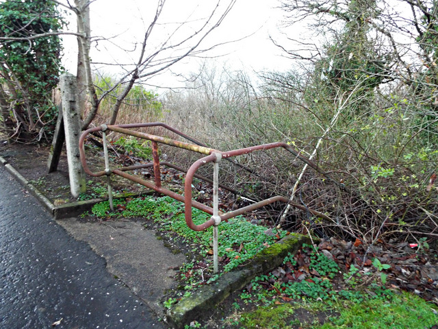
Disused footpath at High Carnegie
Used to lead to Sunnybank House and the A8 Glasgow Road.
 Map © Crown Copyright")
TIP: Click the map for more Large scale mapping
- Grid Square
- NS3373, 204 images (more nearby 🔍)
- Photographer
- Thomas Nugent (more nearby)
- Date Taken
- Friday, 13 December, 2013 (more nearby)
- Submitted
- Friday, 20 December, 2013
- Subject Location
-
OSGB36:
 NS 3369 7393 [10m precision]
WGS84: 55:55.7753N 4:39.8170W - Camera Location
-
OSGB36: NS 3369 7393
- View Direction
- Northwest (about 315 degrees)