2013
SO8071 : High water level on the River Severn, Stourport-on-Severn
taken 10 years ago, near to Areley Kings, Worcestershire, England
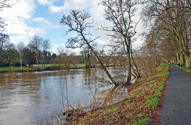
High water level on the River Severn, Stourport-on-Severn
After days of heavy rain, the water level was much higher than normal, when photographed on Christmas Day 2013.
 Map © Crown Copyright")
TIP: Click the map for more Large scale mapping
- Grid Square
- SO8071, 562 images (more nearby 🔍)
- Photographer
- P L Chadwick (more nearby)
- Date Taken
- Wednesday, 25 December, 2013 (more nearby)
- Submitted
- Wednesday, 25 December, 2013
- Subject Location
-
OSGB36:
 SO 804 711 [100m precision]
WGS84: 52:20.3064N 2:17.2664W - Camera Location
-
OSGB36: SO 805 712
- View Direction
- West-southwest (about 247 degrees)