2013
NX4465 : Kirroughtree Forest Trail
taken 10 years ago, near to Stronord, Dumfries And Galloway, Scotland
This is 1 of 3 images, with title Kirroughtree Forest Trail in this square
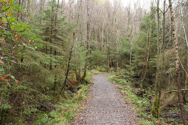
Kirroughtree Forest Trail
From Bruntis loch back to the visitor centre.
 Map © Crown Copyright")
TIP: Click the map for more Large scale mapping
- Grid Square
- NX4465, 253 images (more nearby 🔍)
- Photographer
- Billy McCrorie (more nearby)
- Date Taken
- Monday, 25 November, 2013 (more nearby)
- Submitted
- Friday, 27 December, 2013
- Subject Location
-
OSGB36:
 NX 4493 6513 [10m precision]
WGS84: 54:57.3973N 4:25.3952W - Camera Location
-
OSGB36: NX 4493 6513
- View Direction
- East-southeast (about 112 degrees)