2014
SU6072 : River Pang in Bradfield
taken 10 years ago, near to Bradfield, West Berkshire, England
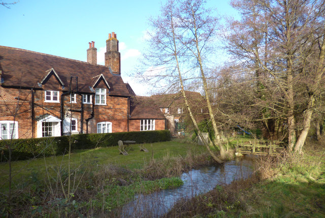
River Pang in Bradfield
The Pang is in two channels through the village, with the main flow passing through an old mill.
This is the non-millstream branch flowing past a house which is now a medical centre for Bradfield College.
This is the non-millstream branch flowing past a house which is now a medical centre for Bradfield College.
 Map © Crown Copyright")
TIP: Click the map for more Large scale mapping
- Grid Square
- SU6072, 59 images (more nearby 🔍)
- Photographer
- Des Blenkinsopp (more nearby)
- Date Taken
- Thursday, 2 January, 2014 (more nearby)
- Submitted
- Friday, 3 January, 2014
- Subject Location
-
OSGB36:
 SU 6033 7277 [10m precision]
WGS84: 51:27.0426N 1:7.9917W - Camera Location
-
OSGB36: SU 6033 7275
- View Direction
- North-northeast (about 22 degrees)