2007
SE2645 : Boggy valley, Castley
taken 17 years ago, near to Arthington, Leeds, England
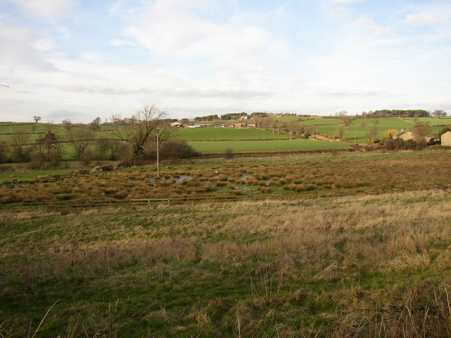
Boggy valley, Castley
A ditch drains (not very effectively) this valley. For some reason it is marked 'Rampart' on the 1850 map.
 Map © Crown Copyright")
TIP: Click the map for more Large scale mapping
- Grid Square
- SE2645, 59 images (more nearby 🔍)
- Photographer
- Humphrey Bolton (more nearby)
- Date Taken
- Wednesday, 14 March, 2007 (more nearby)
- Submitted
- Wednesday, 28 March, 2007
- Subject Location
-
OSGB36:
 SE 267 459 [100m precision]
WGS84: 53:54.5144N 1:35.7037W - Camera Location
-
OSGB36: SE 267 459
- View Direction
- NORTH (about 0 degrees)