2013
TQ1913 : Route of Disused Railway
taken 11 years ago, near to Small Dole, West Sussex, England
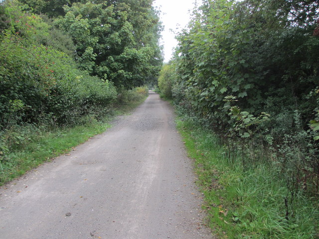
Route of Disused Railway
Downs Link route to Guildford. National Cycle Route 222. Public bridleway 3513.
 Map © Crown Copyright")
TIP: Click the map for more Large scale mapping
- Grid Square
- TQ1913, 85 images (more nearby 🔍)
- Photographer
- Peter Holmes (more nearby)
- Date Taken
- Saturday, 28 September, 2013 (more nearby)
- Submitted
- Tuesday, 7 January, 2014
- Subject Location
-
OSGB36:
 TQ 199 135 [100m precision]
WGS84: 50:54.5543N 0:17.7245W - Camera Location
-
OSGB36: TQ 199 135
- View Direction
- Northeast (about 45 degrees)