2014
SE0721 : Driveway to the former Scar Bottom Mills
taken 10 years ago, near to Greetland, Calderdale, England
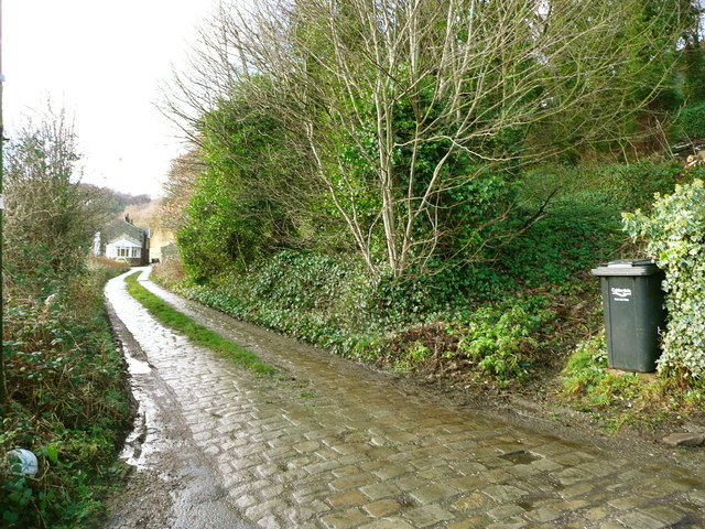
Driveway to the former Scar Bottom Mills
The bottom end of Elland FP42 is just to the left of the 'wheely' bin.
 Map © Crown Copyright")
TIP: Click the map for more Large scale mapping
- Grid Square
- SE0721, 131 images (more nearby 🔍)
- Photographer
- Humphrey Bolton (more nearby)
- Date Taken
- Thursday, 9 January, 2014 (more nearby)
- Submitted
- Sunday, 12 January, 2014
- Subject Location
-
OSGB36:
 SE 0780 2127 [10m precision]
WGS84: 53:41.2695N 1:53.0021W - Camera Location
-
OSGB36: SE 0780 2127
- View Direction
- West-northwest (about 292 degrees)