2014
SE7920 : Mawgre Farm
taken 10 years ago, 3 km from Reedness, East Riding of Yorkshire, England
This is 1 of 3 images, with title Mawgre Farm in this square
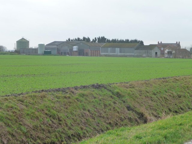
Mawgre Farm
Looking south across Low East Moor Field.
 Map © Crown Copyright")
TIP: Click the map for more Large scale mapping
- Grid Square
- SE7920, 20 images (more nearby 🔍)
- Photographer
- Christine Johnstone (more nearby)
- Date Taken
- Wednesday, 15 January, 2014 (more nearby)
- Submitted
- Thursday, 16 January, 2014
- Subject Location
-
OSGB36:
 SE 7937 2049 [10m precision]
WGS84: 53:40.4917N 0:47.9993W - Camera Location
-
OSGB36: SE 7938 2072
- View Direction
- SOUTH (about 180 degrees)