2014
TQ7768 : The Salvation Army, Gillingham
taken 10 years ago, near to Brompton, Medway, England
This is 1 of 2 images, with title starting with The Salvation Army in this square
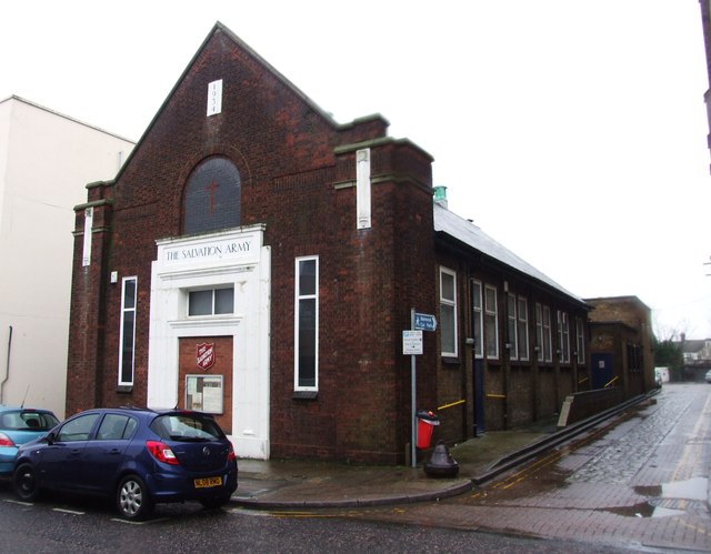
The Salvation Army, Gillingham
 Map © Crown Copyright")
TIP: Click the map for more Large scale mapping
- Grid Square
- TQ7768, 609 images (more nearby 🔍)
- Photographer
- Chris Whippet (more nearby)
- Date Taken
- Sunday, 26 January, 2014 (more nearby)
- Submitted
- Monday, 27 January, 2014
- Subject Location
-
OSGB36:
 TQ 7732 6834 [10m precision]
WGS84: 51:23.1841N 0:32.8180E - Camera Location
-
OSGB36: TQ 7731 6834
- View Direction
- EAST (about 90 degrees)