2014
SU2110 : Flooded Land in the New Forest
taken 10 years ago, 3 km from Linwood, Hampshire, England
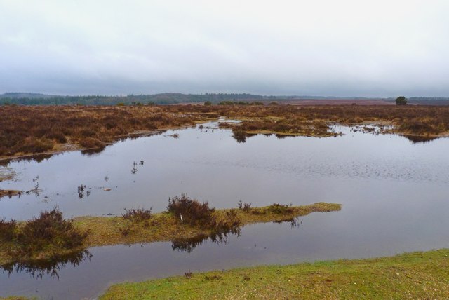
Flooded Land in the New Forest
After much heavy rain in January 2014, many parts of the New Forest were flooded.
 Map © Crown Copyright")
TIP: Click the map for more Large scale mapping
- Grid Square
- SU2110, 56 images (more nearby 🔍)
- Photographer
- Mike Smith (more nearby)
- Date Taken
- Wednesday, 29 January, 2014 (more nearby)
- Submitted
- Wednesday, 29 January, 2014
- Subject Location
-
OSGB36:
 SU 2145 1063 [10m precision]
WGS84: 50:53.6854N 1:41.7828W - Camera Location
-
OSGB36: SU 2143 1060
- View Direction
- Northeast (about 45 degrees)