2014
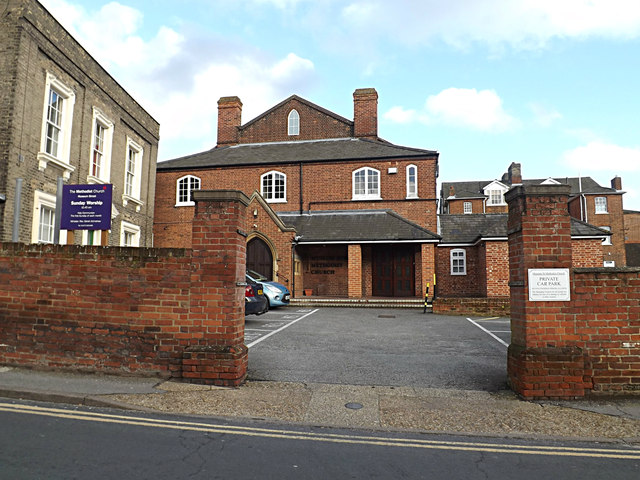
TM1644 : The Methodist Church
taken 10 years ago, near to Ipswich, Suffolk, England
This is 1 of 2 images, with title starting with The Methodist Church in this square
 Map © Crown Copyright")
TIP: Click the map for more Large scale mapping
- Grid Square
- TM1644, 1350 images (more nearby 🔍)
- Photographer
- Geographer (more nearby)
- Date Taken
- Tuesday, 4 February, 2014 (more nearby)
- Submitted
- Wednesday, 5 February, 2014
- Subject Location
-
OSGB36:
 TM 16028 44600 [1m precision]
WGS84: 52:3.4587N 1:8.9824E - Camera Location
-
OSGB36: TM 16006 44599
- View Direction
- EAST (about 90 degrees)