2014
SU5586 : East end of All Saints Church
taken 10 years ago, near to Aston Upthorpe, Oxfordshire, England
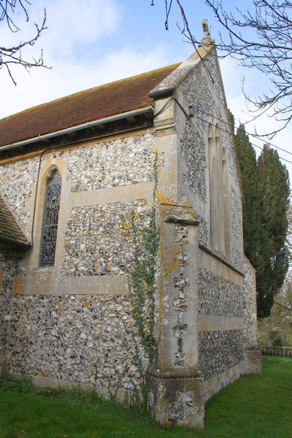
East end of All Saints Church
There is an OS benchmark SU5586 : Benchmark on buttress of All Saints Church on the far buttress
 Map © Crown Copyright")
TIP: Click the map for more Large scale mapping
- Grid Square
- SU5586, 150 images (more nearby 🔍)
- Photographer
- Roger Templeman (more nearby)
- Date Taken
- Saturday, 1 February, 2014 (more nearby)
- Submitted
- Wednesday, 5 February, 2014
- Subject Location
-
OSGB36:
 SU 5529 8614 [10m precision]
WGS84: 51:34.2856N 1:12.2175W - Camera Location
-
OSGB36: SU 5529 8613
- View Direction
- NORTH (about 0 degrees)