2014
SK5434 : High water on the River Trent
taken 10 years ago, near to Clifton, Nottingham, England
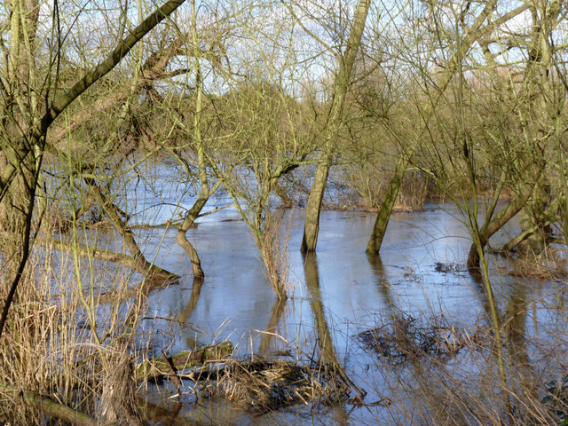
High water on the River Trent
The lower bank sides are covered but the river is not truly in flood. Compared with other parts of the country, the Trent basin was relatively unaffected by the exceptional rainfall suffered by other parts of the UK in early 2014.
River Trent
The River Trent is the third longest river in England (185 miles). It rises on Biddolph Moor, Staffordshire, then follows a generally north east to northerly path to join the River Ouse at Trent Falls. The Ouse & Trent combined form the Humber Estuary.
It is a very important river, economically having a number of Power Stations and industrial sites along its banks. It is navigable as far as Burton-On-Trent.
Wikipedia: Link
 Map © Crown Copyright")
TIP: Click the map for more Large scale mapping
- Grid Square
- SK5434, 125 images (more nearby 🔍)
- Photographer
- Alan Murray-Rust (more nearby)
- Date Taken
- Thursday, 13 February, 2014 (more nearby)
- Submitted
- Monday, 17 February, 2014
- Subject Location
-
OSGB36:
 SK 5405 3497 [10m precision]
WGS84: 52:54.5670N 1:11.8652W - Camera Location
-
OSGB36: SK 5405 3495
- View Direction
- North-northeast (about 22 degrees)