TQ4279 : Police patrol base, Warspite Road
taken 10 years ago, near to Woolwich Ferry, Greenwich, England
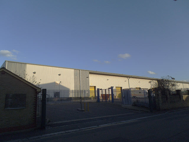
East of the Greenwich peninsula, for several kilometres along the south side of the Thames, is one of the last significant remaining areas of industry along the river. There were once many factories in the area between Woolwich Road and the River Thames - Johnson & Phillips, British Ropes, Harveys, Stone Manganese & Siemens. Many of these suffered heavy bombing in 1940-41. The Charlton Greyhound Stadium was also in this area. Information courtesy of Paul Talling at Link

Most of the heavy industry had gone by the end of the 20th century. Since the 1980s manufacturing has gradually given way to retail and light industry such as warehouses, builders merchants, vehicle repairs, and light engineering. Aggregates handling still takes place along the riverside.
There is a planning masterplan to redevelop the area yet again by 2027, with Marks & Spencers and Sainsbury's superstores, university buildings, hotels and yet more high-rise housing. In 2012/13 demolition of older buildings (including housing on the north side of Woolwich Road) was under way. This sequence of photos is an attempt to record what is left before it disappears.
 Map © Crown Copyright")
- Grid Square
- TQ4279, 198 images (more nearby 🔍)
- Photographer
- Stephen Craven (more nearby)
- Date Taken
- Sunday, 16 February, 2014 (more nearby)
- Submitted
- Tuesday, 18 February, 2014
- Subject Location
-
OSGB36:
 TQ 4207 7921 [10m precision]
WGS84: 51:29.6394N 0:2.7071E - Camera Location
-
OSGB36: TQ 4203 7924
- View Direction
- East-southeast (about 112 degrees)