2014
TL9939 : Entering Polstead Heath (from Polstead direction)
taken 10 years ago, near to Polstead Heath, Suffolk, England
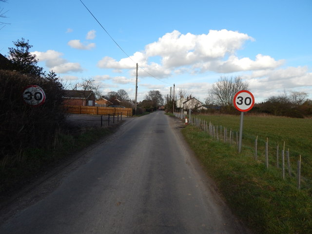
Entering Polstead Heath (from Polstead direction)
On Heath Road.
Polstead Heath :: TL9940
Polstead Heath is a hamlet in Polstead civil parish, in Babergh, Suffolk, England. Polstead Heath is the site of a 19th century orchard and is famous for its cherries Link
. There is a Primitive Methodist chapel in Polstead Heath located at TL9982539987 Link
Polstead :: TL9938
Polstead is a village and civil parish in Babergh, Suffolk, England. In 2011 it had a population of 851 Link
 Map © Crown Copyright")
TIP: Click the map for more Large scale mapping
- Grid Square
- TL9939, 36 images (more nearby 🔍)
- Photographer
- Hamish Griffin (more nearby)
- Date Taken
- Saturday, 22 February, 2014 (more nearby)
- Submitted
- Friday, 28 February, 2014
- Subject Location
-
OSGB36:
 TL 9976 3989 [10m precision]
WGS84: 52:1.2872N 0:54.6004E - Camera Location
-
OSGB36: TL 9976 3988
- View Direction
- North-northwest (about 337 degrees)