2013
TL9063 : Westbound A14 Approaching Rookery Crossroads
taken 11 years ago, near to Blackthorpe, Suffolk, England
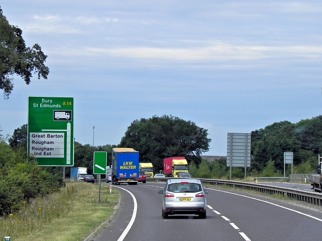
Westbound A14 Approaching Rookery Crossroads
The A14 is a major road which runs for 129 miles from the Port of Felixstowe to the Catthorpe Interchange, the junction of the M1 and M6 motorways near Rugby.
The route linking Rugby (and therefore the West Midlands and the north of England via the motorway network) to East Anglia and the ports of Felixstowe and Harwich is incredibly important and incredibly busy (Felixstowe is the UK's principal container port and the A14 is the road between Felixstowe and everywhere else) but it didn't exist in any coherent form until about 1992.
Prior to the current A14 the main route from Birmingham to the Haven ports followed the old A45 road via Coventry, Rugby, Northampton, St Neots, Cambridge and then through all the towns on the A14, from there to Ipswich where it ended on the A12 not the fast route required for transporting goods across the country with the sudden rise in container shipping during the latter part of the twentieth century.
Most of the current A14 route is a collection of bits of dual carriageway acquired from other roads (most notably the A45) with occasional stretches of new road to bolt it all together. Because of its importance to the countrys economy, there are plans to upgrade it further.
Prior to its use for the current route the A14 designation had been used for a section of road between the A10 at Royston and the A1 at Alconbury following part of the route of the Roman road, Ermine Street, which is now mostly designated as the A1198. The only bit of the current A14 that follows that number's original route is the spur linking junction 23 to the A1.
Link Chris's British Road Directory
Link Wikipedia
See other images of The A14 Trunk Road
The route linking Rugby (and therefore the West Midlands and the north of England via the motorway network) to East Anglia and the ports of Felixstowe and Harwich is incredibly important and incredibly busy (Felixstowe is the UK's principal container port and the A14 is the road between Felixstowe and everywhere else) but it didn't exist in any coherent form until about 1992.
Prior to the current A14 the main route from Birmingham to the Haven ports followed the old A45 road via Coventry, Rugby, Northampton, St Neots, Cambridge and then through all the towns on the A14, from there to Ipswich where it ended on the A12 not the fast route required for transporting goods across the country with the sudden rise in container shipping during the latter part of the twentieth century.
Most of the current A14 route is a collection of bits of dual carriageway acquired from other roads (most notably the A45) with occasional stretches of new road to bolt it all together. Because of its importance to the countrys economy, there are plans to upgrade it further.
Prior to its use for the current route the A14 designation had been used for a section of road between the A10 at Royston and the A1 at Alconbury following part of the route of the Roman road, Ermine Street, which is now mostly designated as the A1198. The only bit of the current A14 that follows that number's original route is the spur linking junction 23 to the A1.
Link
Link
See other images of The A14 Trunk Road
 Map © Crown Copyright")
TIP: Click the map for more Large scale mapping
- Grid Square
- TL9063, 41 images (more nearby 🔍)
- Photographer
- David Dixon (more nearby)
- Date Taken
- Monday, 5 August, 2013 (more nearby)
- Submitted
- Sunday, 2 March, 2014
- Subject Location
-
OSGB36:
 TL 9009 6365 [10m precision]
WGS84: 52:14.2926N 0:46.9513E - Camera Location
-
OSGB36: TL 9016 6365
- View Direction
- WEST (about 270 degrees)