2014

TM2399 : Norwich Road

taken 10 years ago, near to Swainsthorpe, Norfolk, England

This is 1 of 3 images, with title Norwich Road in this square
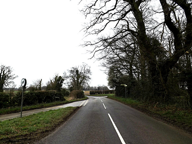
Norwich Road
Norwich Road
Looking towards Stoke Holy Cross at the junction with Knights & Eastell's Lanes
Road No.C201

Creative Commons Licence [Some Rights Reserved]   © Copyright Geographer and licensed for reuse under this Creative Commons Licence.
Geographical Context: Roads, Road transport Looking Towards: Stoke Holy Cross Near: Swainsthorpe Primary Subject: Road Junction other tags: Knights Lane Norwich Road Eastells Lane C Road (Classified C) Click a tag, to view other nearby images.
This photo is linked from: Automatic Clusters: · Knight's Lane [9] · Junction with Eastell's Lane Road No.C201 [5] · Junction with Knights [5] Title Clusters: · Norwich Road [3] ·
1:50,000 Modern Day Landranger(TM) Map © Crown Copyright
+
+
1:50,000 Modern Day Landranger(TM) Map © Crown Copyright
TIP: Click the map for more Large scale mapping
Grid Square
TM2399, 34 images   (more nearby 🔍)
Photographer
Geographer   (more nearby)
Date Taken
Friday, 28 February, 2014   (more nearby)
Submitted
Thursday, 6 March, 2014
Subject Location
OSGB36: geotagged! TM 23310 99466 [1m precision]
WGS84: 52:32.8328N 1:17.5259E
Camera Location
OSGB36: geotagged! TM 23303 99450
View Direction
North-northeast (about 22 degrees)
Clickable map
+
NW N NE
W Go E
SW S SE
Image classification(about): Geograph
This page has been viewed about 20 times
You are not logged in login | register