2014
NS2875 : Whinhill railway tunnel
taken 10 years ago, near to Greenock, Inverclyde, Scotland
This is 1 of 4 images, with title Whinhill railway tunnel in this square
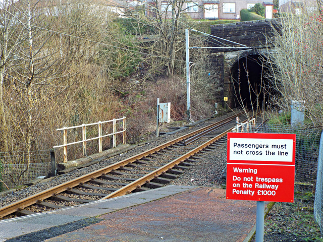
Whinhill railway tunnel
There are two single line bores east of Whinhill station. Only this one is used, the other having been out of use since the mid 1960s. Kilmacolm Road runs on top.
 Map © Crown Copyright")
TIP: Click the map for more Large scale mapping
- Grid Square
- NS2875, 810 images (more nearby 🔍)
- Photographer
- Thomas Nugent (more nearby)
- Date Taken
- Saturday, 1 March, 2014 (more nearby)
- Submitted
- Wednesday, 12 March, 2014
- Subject Location
-
OSGB36:
 NS 2864 7509 [10m precision]
WGS84: 55:56.2936N 4:44.7050W - Camera Location
-
OSGB36: NS 2860 7509
- View Direction
- EAST (about 90 degrees)