2014
SO9098 : Public park in Wolverhampton Ring Road
taken 10 years ago, near to Wolverhampton, England
This is 1 of 3 images, with title Public park in Wolverhampton Ring Road in this square
Public park in Wolverhampton Ring Road
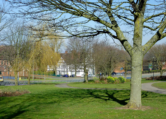
From here at the Chapel Ash roundabout, clockwise to the crossroads at Waterloo Road, the two carriageways of the ring road are separated by a wide and attractively landscaped strip of public parkland. Mature trees and bushes are augmented by well attended grassy areas with cast iron framed seats.
 Map © Crown Copyright")
TIP: Click the map for more Large scale mapping
- Grid Square
- SO9098, 415 images (more nearby 🔍)
- Photographer
- Roger D Kidd (more nearby)
- Date Taken
- Sunday, 9 March, 2014 (more nearby)
- Submitted
- Saturday, 15 March, 2014
- Subject Location
-
OSGB36:
 SO 9094 9877 [10m precision]
WGS84: 52:35.1995N 2:8.1094W - Camera Location
-
OSGB36: SO 9094 9872
- View Direction
- NORTH (about 0 degrees)