2014
TM3674 : B1117 Church Hill, Walpole
taken 10 years ago, near to Walpole, Suffolk, England
This is 1 of 6 images, with title B1117 Church Hill, Walpole in this square
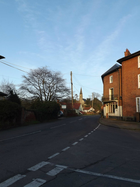
B1117 Church Hill, Walpole
Looking towards St.Mary's Church at the junction with Peasenhall Road
 Map © Crown Copyright")
TIP: Click the map for more Large scale mapping
- Grid Square
- TM3674, 291 images (more nearby 🔍)
- Photographer
- Geographer (more nearby)
- Date Taken
- Monday, 3 March, 2014 (more nearby)
- Submitted
- Saturday, 15 March, 2014
- Subject Location
-
OSGB36:
 TM 36550 74557 [1m precision]
WGS84: 52:19.0864N 1:28.1624E - Camera Location
-
OSGB36: TM 36506 74537
- View Direction
- East-northeast (about 67 degrees)