2014
J2271 : Pylon at Ballymacward Lower
taken 10 years ago, 4 km S of Dundrod, Co Antrim, Northern Ireland
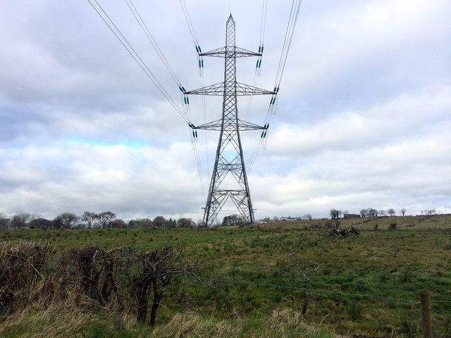
Pylon at Ballymacward Lower
Located to the north of the Scotstown Road in the townland of Ballymacward Lower, less than a mile from the village of Stoneyford.
Loading map... (JavaScript required)
- Grid Square
- J2271, 4 images (more nearby 🔍)
- Photographer
- Dean Molyneaux (more nearby)
- Date Taken
- Sunday, 16 March, 2014 (more nearby)
- Submitted
- Sunday, 16 March, 2014
- Subject Location
-
Irish:
 J 221 712 [100m precision]
WGS84: 54:34.4972N 6:6.6924W - Camera Location
-
Irish: J 221 712
- View Direction
- NORTH (about 0 degrees)