2014
SD7355 : Concessionary Path beside Stocks Reservoir
taken 10 years ago, 3 km from Tosside, North Yorkshire, England
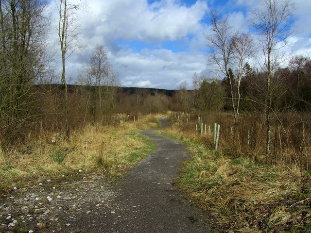
Concessionary Path beside Stocks Reservoir
Loosely follows Hole House Lane through a section of Gisburn Forest beside Stocks Reservoir
 Map © Crown Copyright")
TIP: Click the map for more Large scale mapping
- Grid Square
- SD7355, 56 images (more nearby 🔍)
- Photographer
- Chris Heaton (more nearby)
- Date Taken
- Friday, 21 March, 2014 (more nearby)
- Submitted
- Sunday, 23 March, 2014
- Subject Location
-
OSGB36:
 SD 7360 5568 [10m precision]
WGS84: 53:59.7885N 2:24.2516W - Camera Location
-
OSGB36: SD 7359 5566
- View Direction
- North-northeast (about 22 degrees)