2014
SS9930 : Approaching Venne Cottage
taken 10 years ago, near to Upton, Somerset, England
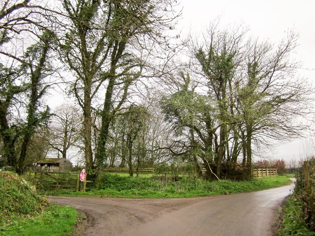
Approaching Venne Cottage
The lane (the boundary of the Exmoor National Park (left)) shown in SS9930 : Lane to Venne bends right here to meet Rugg's Hill on the right of the image.
 Map © Crown Copyright")
TIP: Click the map for more Large scale mapping
- Grid Square
- SS9930, 39 images (more nearby 🔍)
- Photographer
- Derek Harper (more nearby)
- Date Taken
- Sunday, 6 April, 2014 (more nearby)
- Submitted
- Friday, 11 April, 2014
- Subject Location
-
OSGB36:
 SS 9912 3089 [10m precision]
WGS84: 51:4.1068N 3:26.4687W - Camera Location
-
OSGB36: SS 9913 3087
- View Direction
- North-northwest (about 337 degrees)