2014
SP6100 : 'Ostlers Brook' beside A329
taken 10 years ago, near to Little Milton, Oxfordshire, England
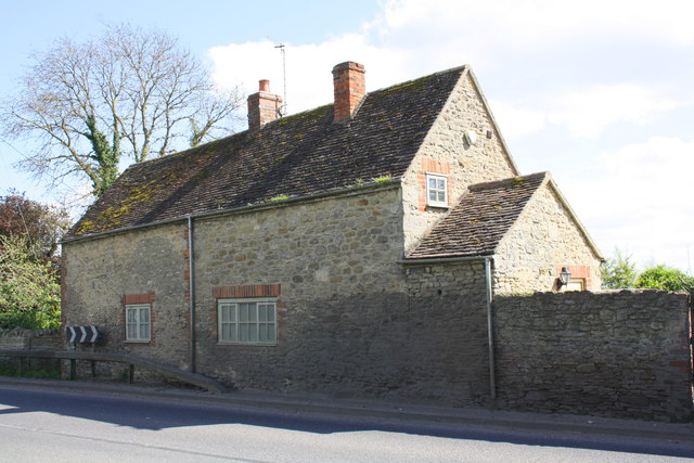
'Ostlers Brook' beside A329
There is an OS benchmark SP6100 : Benchmark on building at Ostlers Brook on the front of the building at its far corner
 Map © Crown Copyright")
TIP: Click the map for more Large scale mapping
- Grid Square
- SP6100, 91 images (more nearby 🔍)
- Photographer
- Roger Templeman (more nearby)
- Date Taken
- Thursday, 10 April, 2014 (more nearby)
- Submitted
- Friday, 11 April, 2014
- Subject Location
-
OSGB36:
 SP 6176 0049 [10m precision]
WGS84: 51:41.9859N 1:6.4653W - Camera Location
-
OSGB36: SP 6174 0050
- View Direction
- East-southeast (about 112 degrees)