2007
TA0467 : Broach Dale, Kilham
taken 17 years ago, near to Thwing, East Riding of Yorkshire, England
This is 1 of 2 images, with title Broach Dale, Kilham in this square
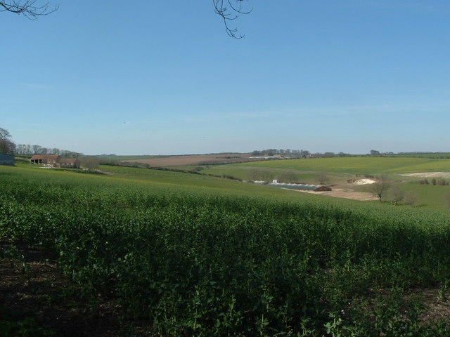
Broach Dale, Kilham
 Map © Crown Copyright")
TIP: Click the map for more Large scale mapping
- Grid Square
- TA0467, 13 images (more nearby 🔍)
- Photographer
- John Phillips (more nearby)
- Date Taken
- Sunday, 8 April, 2007 (more nearby)
- Submitted
- Sunday, 8 April, 2007
- Subject Location
-
OSGB36:
 TA 044 677 [100m precision]
WGS84: 54:5.6932N 0:24.2910W - Camera Location
-
OSGB36: TA 047 675
- View Direction
- West-northwest (about 292 degrees)