2014
TQ5646 : Leigh Flood Barrier
taken 10 years ago, near to Leigh, Kent, England
This is 1 of 28 images, with title Leigh Flood Barrier in this square
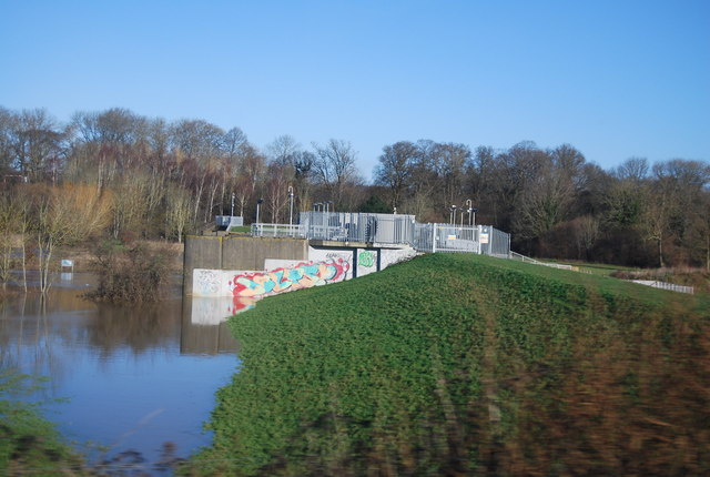
Leigh Flood Barrier
Built in 1981, the flood barrier was constructed near Leigh to protect Tonbridge, which had been severely affected by the flooding of 1968. During periods of high flow, the downstream flow is controlled by allowing up to 1 square mile (2.6 km2) of farmland upstream of the barrier to flood. This is an in-line storage scheme. An embankment has been built across the Medway valley to hold back the water.
See other images of Leigh Flood Barrier
See other images of Leigh Flood Barrier
 Map © Crown Copyright")
TIP: Click the map for more Large scale mapping
- Grid Square
- TQ5646, 320 images (more nearby 🔍)
- Photographer
- N Chadwick (more nearby)
- Date Taken
- Saturday, 1 February, 2014 (more nearby)
- Submitted
- Friday, 18 April, 2014
- Subject Location
-
OSGB36:
 TQ 5638 4611 [10m precision]
WGS84: 51:11.5691N 0:14.1938E - Camera Location
-
OSGB36: TQ 5638 4600
- View Direction
- NORTH (about 0 degrees)