2014
NN9978 : Track east of the Allt a' Ghlinne Mhòir
taken 10 years ago, near to Creag an Duibh [hill or Mountain], Perth And Kinross, Great Britain
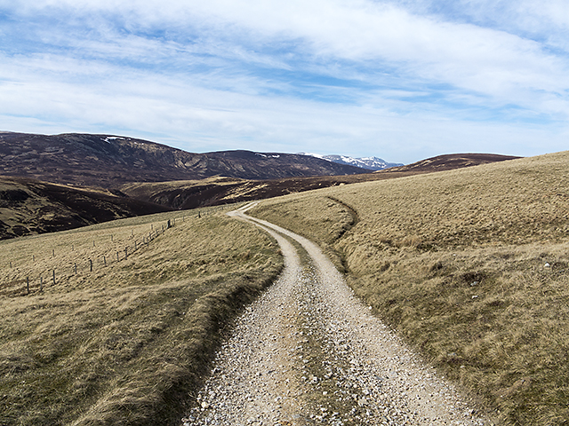
Track east of the Allt a' Ghlinne Mhòir
A track leading to Fealar Lodge, viewed here above the eastern bank of the Allt a' Ghlinne Mhòir.
 Map © Crown Copyright")
TIP: Click the map for more Large scale mapping
- Grid Square
- NN9978, 3 images (more nearby 🔍)
- Photographer
- William Starkey (more nearby)
- Date Taken
- Saturday, 19 April, 2014 (more nearby)
- Submitted
- Sunday, 20 April, 2014
- Subject Location
-
OSGB36:
 NN 9990 7888 [10m precision]
WGS84: 56:53.4265N 3:38.6780W - Camera Location
-
OSGB36: NN 9993 7876
- View Direction
- North-northwest (about 337 degrees)