2014

NZ3455 : A19 near Sunderland

taken 10 years ago, near to New Herrington, Sunderland, England
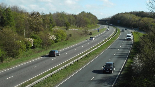
A19 near Sunderland
A19 near Sunderland
The trunk A19 road near Sunderland.

Creative Commons Licence [Some Rights Reserved]   © Copyright Malc McDonald and licensed for reuse under this Creative Commons Licence.
Geographical Context: Roads, Road transport Place: Wearside Near: Sunderland County: Tyne & Wear Road: A19 Dual Carriageway Primary Subject: Road other tags: Trunk Road Dual Carriageway Click a tag, to view other nearby images.
This photo is linked from: Automatic Clusters: · Near Sunderland [6] · Road [6] · Road Near Sunderland [4] · A19 [3] · Trunk A19 Road [2] ·
1:50,000 Modern Day Landranger(TM) Map © Crown Copyright
+
+
1:50,000 Modern Day Landranger(TM) Map © Crown Copyright
TIP: Click the map for more Large scale mapping
Grid Square
NZ3455, 22 images   (more nearby 🔍)
Photographer
Malc McDonald   (more nearby)
Date Taken
Saturday, 19 April, 2014   (more nearby)
Submitted
Tuesday, 22 April, 2014
Subject Location
OSGB36: geotagged! NZ 3483 5506 [10m precision]
WGS84: 54:53.3446N 1:27.5131W
Camera Location
OSGB36: geotagged! NZ 3482 5508
View Direction
South-southeast (about 157 degrees)
Clickable map
+
NW N NE
W Go E
SW S SE
Image classification(about): Geograph
This page has been viewed about 50 times
You are not logged in login | register