2014
SP5312 : Benchmark on Woodeaton Manor School wall pier
taken 10 years ago, near to Woodeaton, Oxfordshire, England
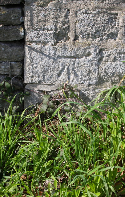
Benchmark on Woodeaton Manor School wall pier
Ordnance Survey cut mark benchmark described on the Bench Mark Database at Link
 Map © Crown Copyright")
TIP: Click the map for more Large scale mapping
- Grid Square
- SP5312, 25 images (more nearby 🔍)
- Photographer
- Roger Templeman (more nearby)
- Date Taken
- Monday, 17 March, 2014 (more nearby)
- Submitted
- Thursday, 24 April, 2014
- Subject Location
-
OSGB36:
 SP 5352 1210 [10m precision]
WGS84: 51:48.2992N 1:13.5113W - Camera Location
-
OSGB36: SP 5352 1210
- View Direction
- Northwest (about 315 degrees)