2014
NT4055 : The Gala Water Valley
taken 10 years ago, near to Heriot, Scottish Borders, Scotland
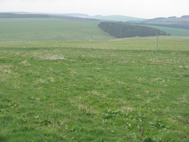
The Gala Water Valley
Looking west from Nettlingflat - pasture and plantation.
 Map © Crown Copyright")
TIP: Click the map for more Large scale mapping
- Grid Square
- NT4055, 25 images (more nearby 🔍)
- Photographer
- M J Richardson (more nearby)
- Date Taken
- Wednesday, 23 April, 2014 (more nearby)
- Submitted
- Monday, 28 April, 2014
- Subject Location
-
OSGB36:
 NT 4007 5539 [10m precision]
WGS84: 55:47.2850N 2:57.4348W - Camera Location
-
OSGB36: NT 4049 5542
- View Direction
- WEST (about 270 degrees)