2014
NN3104 : A82 Approaching Tarbet
taken 10 years ago, near to Tarbet, Argyll And Bute, Scotland
This is 1 of 6 images, with title starting with A82 in this square
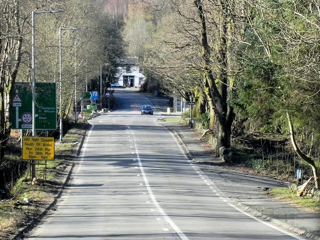
A82 Approaching Tarbet
The A82 runs from Glasgow to Fort William and Inverness, passing along the shores of Loch Lomond and Loch Ness and in the shadow of Ben Nevis along the way. The majority of the route is a trunk road and hence managed by Transport Scotland, who view the road as a vitally important link through the Scottish Highlands and beyond.
At 167 miles, the road is the second longest A-road in Scotland (after the A9) and along its route uses pieces of road first built in the 1750s.
See other images of The A82
At 167 miles, the road is the second longest A-road in Scotland (after the A9) and along its route uses pieces of road first built in the 1750s.
See other images of The A82
 Map © Crown Copyright")
TIP: Click the map for more Large scale mapping
- Grid Square
- NN3104, 108 images (more nearby 🔍)
- Photographer
- David Dixon (more nearby)
- Date Taken
- Monday, 24 March, 2014 (more nearby)
- Submitted
- Tuesday, 29 April, 2014
- Subject Location
-
OSGB36:
 NN 319 044 [100m precision]
WGS84: 56:12.1677N 4:42.6453W - Camera Location
-
OSGB36: NN 319 043
- View Direction
- North-northwest (about 337 degrees)