2014
NH6070 : Disused estate road east of Cnoc Cèislein
taken 10 years ago, near to Wester Lealty, Highland, Scotland
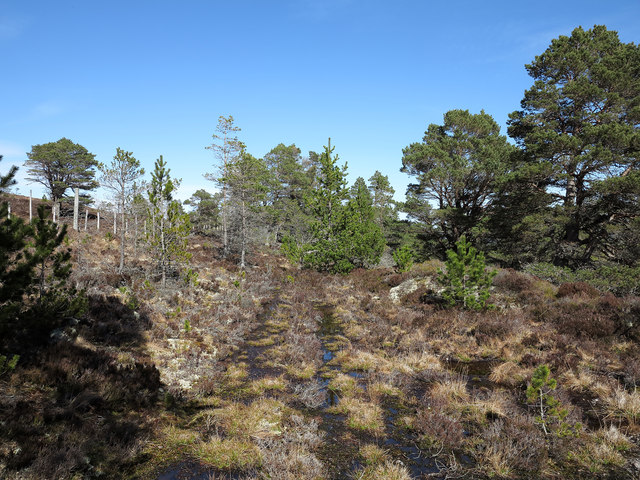
Disused estate road east of Cnoc Cèislein
OS maps show a number of estate roads to exist on the east side of Cnoc Cèislein; the one pictured here branches vaguely from a very clear road and soon fades further. At the photograph location the road is faint, wet and overgrown with regenerating trees; further on it all but disappears completely.
 Map © Crown Copyright")
TIP: Click the map for more Large scale mapping
- Grid Square
- NH6070, 9 images (more nearby 🔍)
- Photographer
- Trevor Littlewood (more nearby)
- Date Taken
- Friday, 18 April, 2014 (more nearby)
- Submitted
- Tuesday, 29 April, 2014
- Subject Location
-
OSGB36:
 NH 6042 7050 [10m precision]
WGS84: 57:42.1540N 4:20.6328W - Camera Location
-
OSGB36: NH 6038 7046
- View Direction
- Northeast (about 45 degrees)