2014
SE2023 : National Cycle Network Marker Post
taken 10 years ago, near to Liversedge, Kirklees, England
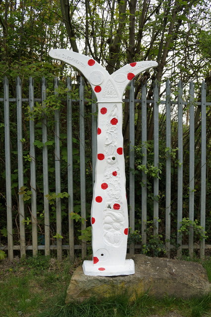
National Cycle Network Marker Post
On sustrans #66
 Map © Crown Copyright")
TIP: Click the map for more Large scale mapping
- Grid Square
- SE2023, 389 images (more nearby 🔍)
- Photographer
- Ian S (more nearby)
- Date Taken
- Wednesday, 30 April, 2014 (more nearby)
- Submitted
- Thursday, 1 May, 2014
- Subject Location
-
OSGB36:
 SE 2020 2381 [10m precision]
WGS84: 53:42.6195N 1:41.7266W - Camera Location
-
OSGB36: SE 2019 2380
- View Direction
- North-northeast (about 22 degrees)