2014
TM4394 : Wood Lane, Waterheath
taken 10 years ago, near to Toft Monks, Norfolk, England
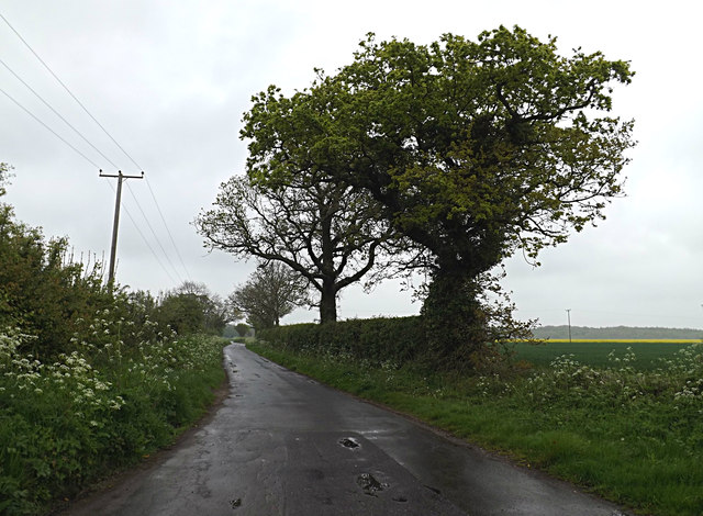
Wood Lane, Waterheath
At the junction with Post Office Road
Waterheath, Norfolk
Waterheath is a hamlet in Norfolk near Beccles and Tofts Monks
 Map © Crown Copyright")
TIP: Click the map for more Large scale mapping
- Grid Square
- TM4394, 59 images (more nearby 🔍)
- Photographer
- Geographer (more nearby)
- Date Taken
- Thursday, 1 May, 2014 (more nearby)
- Submitted
- Sunday, 4 May, 2014
- Subject Location
-
OSGB36:
 TM 43586 94464 [1m precision]
WGS84: 52:29.6189N 1:35.2122E - Camera Location
-
OSGB36: TM 43586 94464
- View Direction
- North-northeast (about 22 degrees)