2014
NM9434 : Eastbound A85 near Black Crofts
taken 10 years ago, near to Black Crofts, Argyll And Bute, Scotland
This is 1 of 2 images, with title Eastbound A85 near Black Crofts in this square
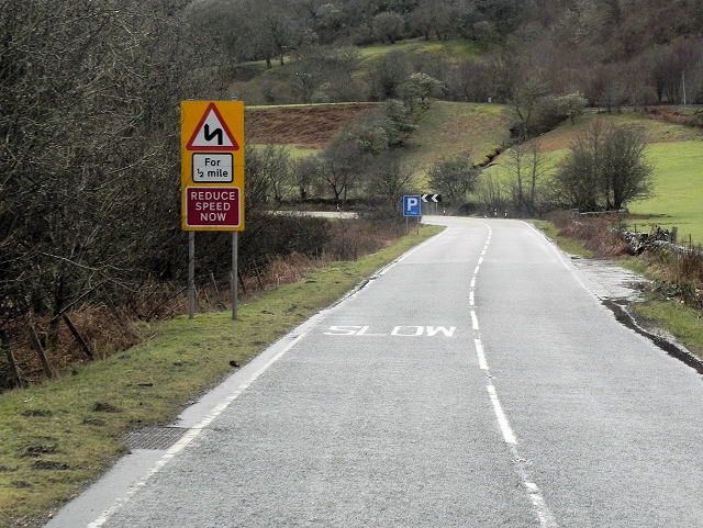
Eastbound A85 near Black Crofts
The A85 is a major road running for 115 miles from Oban to Dundee, providing a nearly continuous route linking the east and west coasts of Scotland, passing some of the countrys highest mountains.
Some statistics seem to show that the stretch of the A85 between Oban and Tyndrum is among the ten most dangerous roads in Scotland (Link BBC Scotland)
See other images of The A85
Some statistics seem to show that the stretch of the A85 between Oban and Tyndrum is among the ten most dangerous roads in Scotland (Link
See other images of The A85
 Map © Crown Copyright")
TIP: Click the map for more Large scale mapping
- Grid Square
- NM9434, 8 images (more nearby 🔍)
- Photographer
- David Dixon (more nearby)
- Date Taken
- Tuesday, 25 March, 2014 (more nearby)
- Submitted
- Wednesday, 7 May, 2014
- Subject Location
-
OSGB36:
 NM 9430 3413 [10m precision]
WGS84: 56:27.2587N 5:20.3802W - Camera Location
-
OSGB36: NM 9429 3419
- View Direction
- SOUTH (about 180 degrees)