2014
NN0200 : A83, Furnace
taken 10 years ago, near to Furnace, Argyll And Bute, Scotland
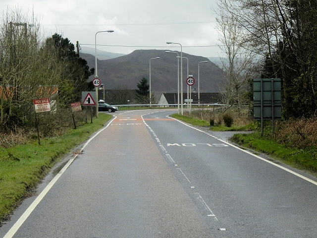
A83, Furnace
The A83 is a major road which links two of the most remote areas of mainland Britain, Cowal and Kintyre, with the rest of Scotland.
The A83 runs for 98 miles from Tarbet, on the western shore of Loch Lomond where it splits from the A82, to Campbeltown. On the way, it runs along the shore of Loch Fyne and almost the entire length of the Kintyre peninsula.
See other images of The A83
The A83 runs for 98 miles from Tarbet, on the western shore of Loch Lomond where it splits from the A82, to Campbeltown. On the way, it runs along the shore of Loch Fyne and almost the entire length of the Kintyre peninsula.
See other images of The A83
 Map © Crown Copyright")
TIP: Click the map for more Large scale mapping
- Grid Square
- NN0200, 43 images (more nearby 🔍)
- Photographer
- David Dixon (more nearby)
- Date Taken
- Tuesday, 25 March, 2014 (more nearby)
- Submitted
- Thursday, 8 May, 2014
- Subject Location
-
OSGB36:
 NN 0228 0008 [10m precision]
WGS84: 56:9.1373N 5:11.0919W - Camera Location
-
OSGB36: NN 0229 0016
- View Direction
- South-southwest (about 202 degrees)