2014
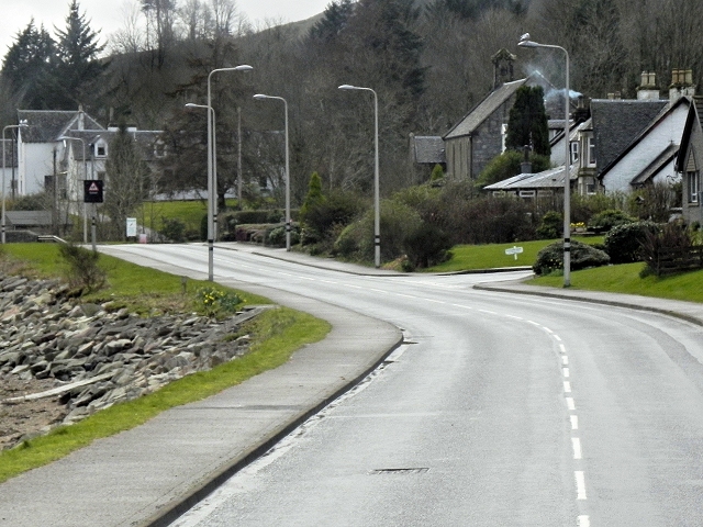
NR9896 : Minard, A83
taken 10 years ago, near to Minard, Argyll And Bute, Scotland
This is 1 of 3 images, with title starting with Minard in this square

Minard, A83
The A83 is a major road which links two of the most remote areas of mainland Britain, Cowal and Kintyre, with the rest of Scotland.
The A83 runs for 98 miles from Tarbet, on the western shore of Loch Lomond where it splits from the A82, to Campbeltown. On the way, it runs along the shore of Loch Fyne and almost the entire length of the Kintyre peninsula.
See other images of The A83
The A83 runs for 98 miles from Tarbet, on the western shore of Loch Lomond where it splits from the A82, to Campbeltown. On the way, it runs along the shore of Loch Fyne and almost the entire length of the Kintyre peninsula.
See other images of The A83
