2014
TM4993 : Staithe Road, Burgh St.Peter
taken 10 years ago, near to Camps Heath, Suffolk, England
This is 1 of 3 images, with title Staithe Road, Burgh St.Peter in this square
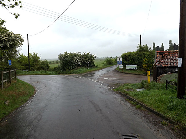
Staithe Road, Burgh St.Peter
At the junction with Church Lane & Burgh Road at The Waveney Inn
 Map © Crown Copyright")
TIP: Click the map for more Large scale mapping
- Grid Square
- TM4993, 104 images (more nearby 🔍)
- Photographer
- Geographer (more nearby)
- Date Taken
- Thursday, 8 May, 2014 (more nearby)
- Submitted
- Sunday, 11 May, 2014
- Subject Location
-
OSGB36:
 TM 49152 93477 [1m precision]
WGS84: 52:28.9369N 1:40.0767E - Camera Location
-
OSGB36: TM 49152 93477
- View Direction
- Northeast (about 45 degrees)