2005
SC2885 : Lhergycolvine Road. Isle of Man
taken 19 years ago, near to Knocksharry, Isle of Man
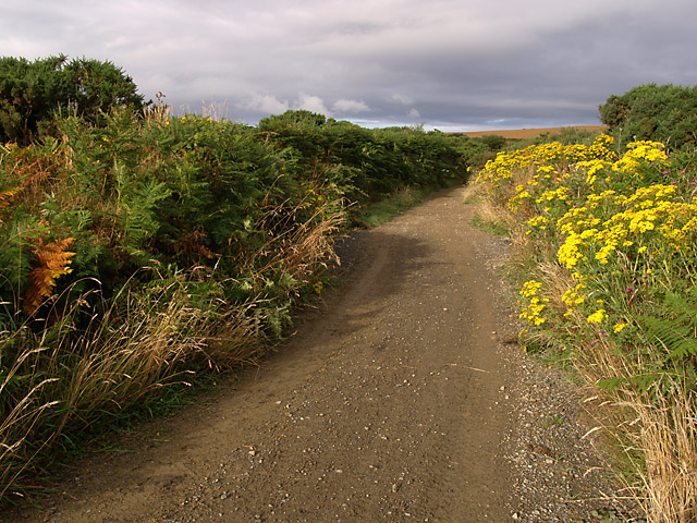
Lhergycolvine Road. Isle of Man.
This road runs between the Starvey Road and the Switchback Road. This section has fairly recently undergone some considerable improvements to both the road surface itself and also the drainage in the area.
 Map © Crown Copyright")
TIP: Click the map for more Large scale mapping
- Grid Square
- SC2885, 2 images (more nearby 🔍)
- Photographer
- Andy Radcliffe (more nearby)
- Date Taken
- Friday, 19 August, 2005 (more nearby)
- Submitted
- Friday, 19 August, 2005
- Subject Location
-
OSGB36:
 SC 288 858 [100m precision]
WGS84: 54:14.3512N 4:37.7136W