TF9541 : Flint built house, Binham Rd
taken 10 years ago, near to Warham, Norfolk, England
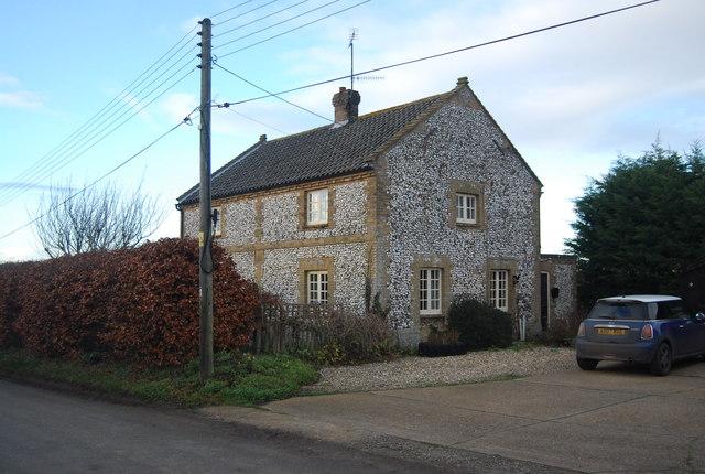
Flint is a form of silica or Silicon Dioxide (SiO2). It is found extensively in chalky areas around the country, where it is often used as a building material, due to its hardness. Many of Britain's beaches, especially on the south coast, are composed of flint.
Website on flint Link
Warham is a village and civil parish in Norfolk. It is situated about 5 km inland from the north Norfolk coast, 5 km south-east of the town of Wells-next-the-Sea.
This small village has two large medieval churches, All Saints near the village centre and St Mary Magdalen about 500 m away. Just south of the village is Warham Camp a small ancient hillfort earthwork built by the Iceni in the 2nd century BC, known locally as 'the Danish Camp'.
The village has a tiny request stop - Warham railway station - on the narrow gauge Wells and Walsingham Light Railway.
 Map © Crown Copyright")
- Grid Square
- TF9541, 61 images (more nearby 🔍)
- Photographer
- N Chadwick (more nearby)
- Date Taken
- Friday, 3 January, 2014 (more nearby)
- Submitted
- Wednesday, 14 May, 2014
- Subject Location
-
OSGB36:
 TF 9521 4163 [10m precision]
WGS84: 52:56.1935N 0:54.2005E - Camera Location
-
OSGB36: TF 9521 4163
- View Direction
- North-northwest (about 337 degrees)