2014
SX7474 : Path up Rippon Tor from the south
taken 10 years ago, 3 km from Buckland in The Moor, Devon, England
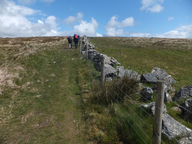
Path up Rippon Tor from the south
 Map © Crown Copyright")
TIP: Click the map for more Large scale mapping
- Grid Square
- SX7474, 35 images (more nearby 🔍)
- Photographer
- David Smith (more nearby)
- Date Taken
- Tuesday, 13 May, 2014 (more nearby)
- Submitted
- Wednesday, 14 May, 2014
- Subject Location
-
OSGB36:
 SX 741 747 [100m precision]
WGS84: 50:33.5460N 3:46.6683W - Camera Location
-
OSGB36: SX 741 747
- View Direction
- North-northeast (about 22 degrees)