2007
NT6524 : Weir on the River Teviot east of Monteviot House
taken 17 years ago, near to Bonjedward, Scottish Borders, Scotland
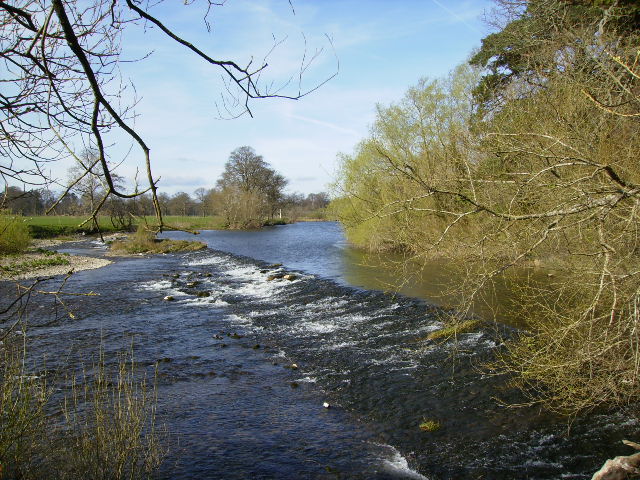
Weir on the River Teviot east of Monteviot House
A viewing platform for the weir has been built here, adjacent to the St Cuthbert's Way long distance footpath. The footpath has been rerouted here and now goes from Boggyhall Wood southeast and then back westwards along the river towards the suspension bridge. This differs from the route shown on the current (Apr 2007) 1:25000 OS Explorer map.
 Map © Crown Copyright")
TIP: Click the map for more Large scale mapping
- Grid Square
- NT6524, 38 images (more nearby 🔍)
- Photographer
- Phil Catterall (more nearby)
- Date Taken
- Sunday, 8 April, 2007 (more nearby)
- Submitted
- Wednesday, 11 April, 2007
- Subject Location
-
OSGB36:
 NT 6538 2445 [10m precision]
WGS84: 55:30.7545N 2:32.9854W - Camera Location
-
OSGB36: NT 6547 2448
- View Direction
- West-southwest (about 247 degrees)