2014

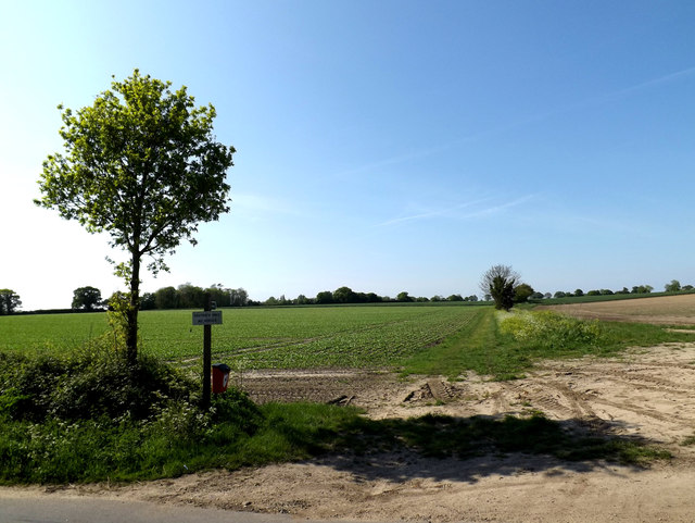
TM4888 : Footpath to Dairy Lane

taken 10 years ago, near to Mutford, Suffolk, England

This is 1 of 2 images, with title Footpath to Dairy Lane in this square
Footpath to Dairy Lane
Off Church Road near St.Andrew's Church

Creative Commons Licence [Some Rights Reserved]   © Copyright Geographer and licensed for reuse under this Creative Commons Licence.
Geographical Context: Paths To: Dairy Lane At: Mutford Off: Church Road Near: St Andrews Church Primary Subject: Path other tags: Footpath Click a tag, to view other nearby images.
This photo is linked from: Automatic Clusters: · Footpath [6] Title Clusters: · Footpath to Dairy Lane [2] ·
1:50,000 Modern Day Landranger(TM) Map © Crown Copyright
+
+
1:50,000 Modern Day Landranger(TM) Map © Crown Copyright
TIP: Click the map for more Large scale mapping
Grid Square
TM4888, 124 images   (more nearby 🔍)
Photographer
Geographer   (more nearby)
Date Taken
Thursday, 15 May, 2014   (more nearby)
Submitted
Monday, 19 May, 2014
Subject Location
OSGB36: geotagged! TM 48578 88599 [1m precision]
WGS84: 52:26.3268N 1:39.3528E
Camera Location
OSGB36: geotagged! TM 48587 88590
View Direction
Northwest (about 315 degrees)
Clickable map
+
NW N NE
W Go E
SW S SE
Image classification(about): Geograph
This page has been viewed about 19 times
You are not logged in login | register