2005
SD6854 : Dunsop Fell Bowland
taken 19 years ago, 3 km from Slaidburn, Lancashire, England
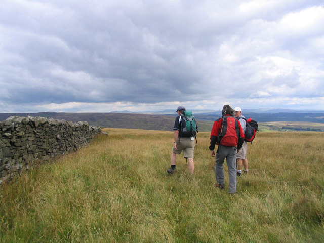
Dunsop Fell Bowland
Following the wall along the watershed near to Andrew Hole Top on Dunsop Fell
 Map © Crown Copyright")
TIP: Click the map for more Large scale mapping
- Grid Square
- SD6854, 20 images (more nearby 🔍)
- Photographer
- Mick Melvin (more nearby)
- Date Taken
- Sunday, 14 August, 2005 (more nearby)
- Submitted
- Friday, 19 August, 2005
- Subject Location
-
OSGB36:
 SD 68 54 [1000m precision]
WGS84: 53:59.1350N 2:28.9118W